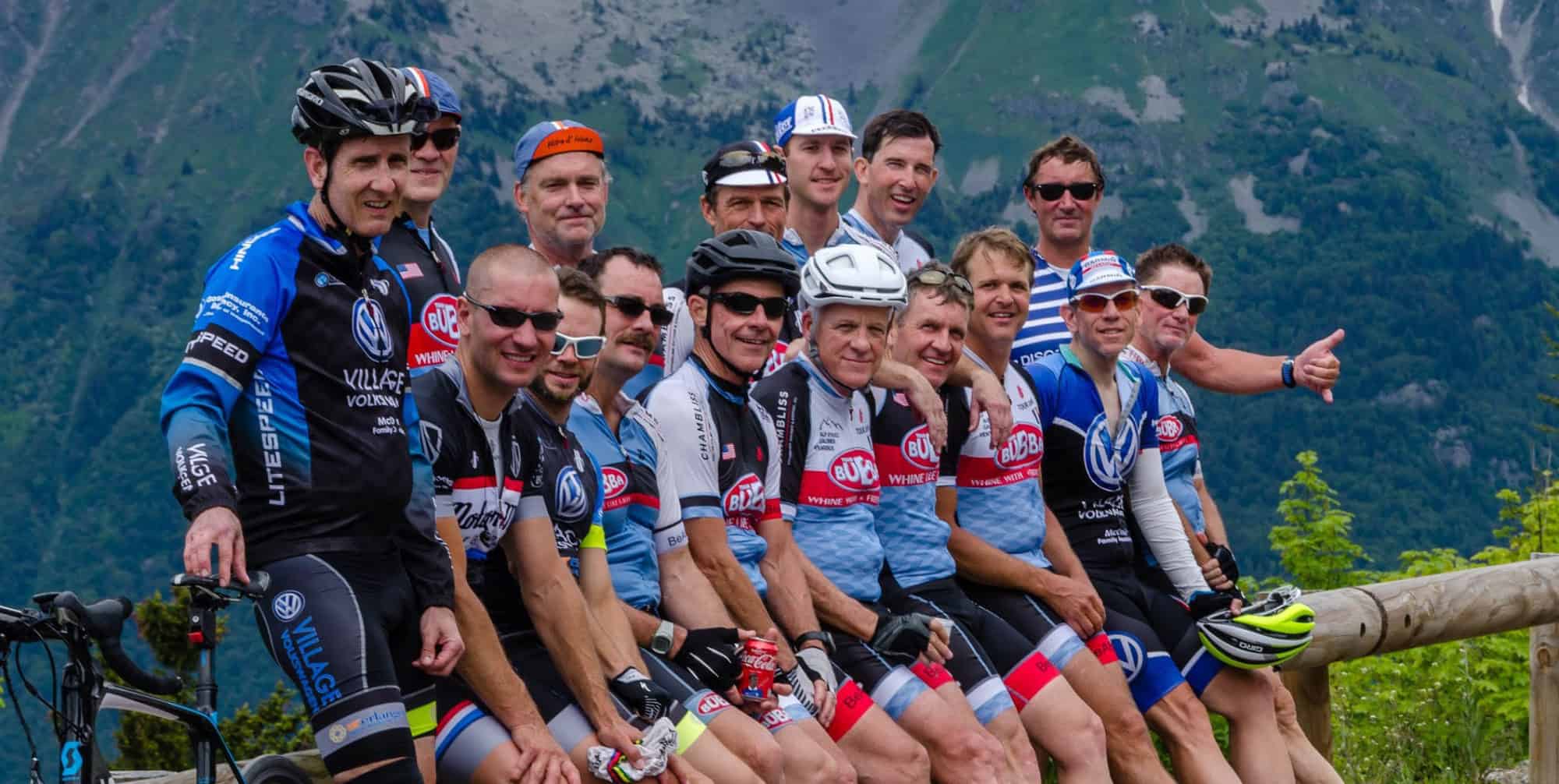
TB 3/25

Roll from Mike’s at 9:00.   South via Creek and over 136.   Plan to regroup at Sunset for the 5-6 mile ride over Lookout – wind gonna be even worse on top but hopefully at our backs and sides going this way.   (Careful of the crosswinds going down.)   We’ll regroup at the store at the bottom, and then hopefully let the tailwind push us back home via the normal Marble Top route with Dry Valley kicker.   Nothing creative, the key this week being to play the wind.  A metric and 4000 feet as mapped.

TB 3/18


Roll from Mike’s Hole at 10:30.    Most likely route will be the Hillz to start with which will put us back to Mike’s around 12:00 at which point those with more time may head over and climb Elder or add another Hillz loop.   (2 Hillz loops = around 3500 feet and 3.5 hours – ain’t sexy but the Hillz keep us warm and are pretty good about shielding the wind.)   If the weatherman is wrong about how bad things will be, we’ll latch onto Bub’s wheel and let him lead us for a loop south or head into the headwind via Sunday makeup roads (heading north), climb Hotwater, and let the tailwind push us back.   MAP STARTS FROM WHOLE FOODS BUT REMEMBER WE ROLL FROM MIKE’S!

TB 3/11

Blustery out of the north again tomorrow so we’ll head north again in hopes of a tailwind coming back.   Roll from Falling Water @ 9:30 (should be 45 by then) for a trip up Retro.   Once on top we’ll check temp and wind (only supposed to lose a degree or two) and decide whether to continue with the mapped route or drop back down, head north, and add some loops along the way.  As mapped a metric and 4000 feet with lots of bailout/alt route options.  Yep, we’ll be on some of the same roads as last week but we’ll be going in a different direction so hopefully they’ll at least seem different.  (Good grief – I’m over winter already.)


TB 3/4

TB heads north this week to see if Link will come out to play.   Roll from Falling Water promptly @ 9:00 to visit an old friend.   We’ll also visit a few other friends along the way – Old Dayton, Stormer, etc. – as we make our way to Brayton Mtn.   It’s a metric and 3700 feet but it’ll feel like much, much more.  Carry what food you need – we’ll get water at the church on top but there may not be a store stop.

TB 2/25

UPDATE (6:50 a.m.): FUTURECAST SHOWS RAIN STAYING NORTH OF TOWN AFTER A SHORT BURST AROUND 7:30.   RIDE STILL ROLLS AT 9:00!   (Fly says the weather is always better south of town…………..) WE’LL UPDATE AGAIN AROUND 8:00 IF THINGS CHANGE.

Roll from Steady’s Campground (St Elmo Food City) at 9:00.   South via Creek to the foot of Burkhalter and we’ll then wind around to Byrd’s Chapel and Back Valley before making our way back to Trenton and then climbing up Sand.  (Remember to take a right at that bad intersection going up or we’ll never see you again!)  A metric and around 4000 feet – yep, I cheated a bit at the end by doing a loop down Broad to get it to the magic number.  May be some route changes once Fly and King have time to study what I’ve done so wait a bit before you load it into your computers!

TB 2/18

Roll from Mikes @ 11:00 (when we should be close to the magic temp #).    South over the toe and wind our way around to Creek Rd and Morganville Ridge.   RIGHT ON SLYGO and then the left to get back to the foot of Sand where we’ll climb up to the sweet new tarmac on Murphy Hollow.   Murphy to 299, quick stop at the store at the bottom of the stairs, and then the stairs (via BeezleBub’s side road) and back.   Lots of ways to short it including: (i) staying on Slygo back to 299 should put it in the 40+/- range (I’m guessing here); and (ii) turning right on 299 after Murphy should put it in the 50+/- range and avoid the stairs and those nasty rollers on Cummings.  As mapped 60 miles. 3500 feet.

TB 2/11

Roll from Mike’s at 9:30 and head north AGAIN.  I know, I know, some of the same roads but we’ll reverse direction and add some twists so it isn’t exactly like last week’s route.  (Wind out of the NE and really blustery so fingers crossed hugging Signal and Mowbry will block some of it – the route is similar to the “Wind Barrier” route we’ve done in the past on windy days.)  Up Montlake, down Hotwater, and then north a bit to tie into Armstrong where we’ll finally have the wind at our backs.   Lots of ways to short this one if the wind is too bad or I start thinking about that bacon sandwich I’m gonna get at Mikes.  A metric and 4200 feet as mapped.


TB 2/4

We’ll stick with the plan of rolling as early as we hit 40 degrees.  Roll from Mike’s at 11:00 for basically the summer Tuesday night loop. (Okay, okay, it won’t be 40 yet but the sun will be out and it’ll get to 40 soon after we roll.)   Tough to be creative this time of day with the traffic particularly on the climbs so it’s familiar roads with a few twists as we head north for a climb up Hotwater.   Down Montlake and back for 52 miles, 3500 feet.   (Those needing the magic number can add the loop up top (Mowbry Pike/Henson loop) or perhaps a loop at the bend to get there.)  We’ll keep it moving since some will need to get back with one quick stop after the Montlake descent.  Should be back by 2:30 or so.

TB 1/28

Roll at 10:00 from Steady’s Campground (St Elmo Food City) for a trip to the Cove and optional climb up Daughtery.  (Low winds which is always key for this one.)   Full route with the climb 71 miles and 4200 feet, but if you skip the climb it should put it right at a metric.   For those wanting the climb but not the extra miles a good place to jump on would be the DolGen where we cross 193.